When you buy a home on Lake Norman, you are not only buying the house and the dock. You are buying a strip of shoreline that the state, Duke Energy and often your town all have rules about. That strip is the riparian corridor, and it can decide where your patio goes, which trees you can cut for a view and whether that boathouse you are picturing can be built at all.
Here is what a riparian corridor is, the three layers of rules that cover the Lake Norman shoreline, and the questions to ask before you buy.
What a Riparian Corridor Is
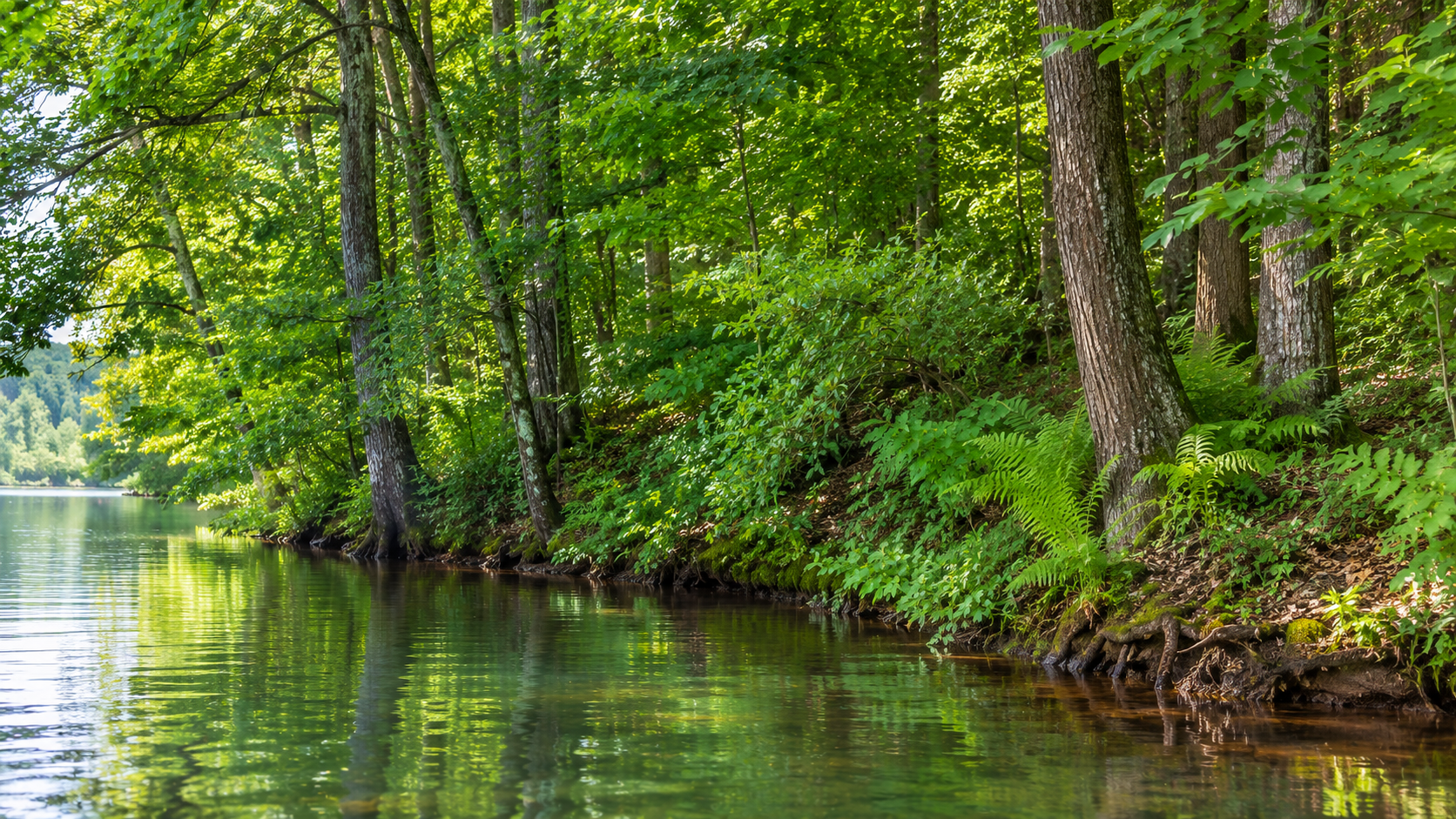
Riparian simply means the land along a river, stream or lake. A riparian buffer, or riparian corridor, is the band of vegetation along that water. The North Carolina Department of Environmental Quality explains that plants in a buffer soak up sediment, contaminants and nutrients like nitrogen and phosphorus before they reach the water. Those nutrients are what fuel algal blooms.
NCDEQ lists several other jobs a healthy buffer does: it filters stormwater runoff, holds the bank in place against erosion, keeps water temperatures in check, gives wildlife a place to live, helps with flood control and protects the water supply. Lake Norman is a drinking water source for the region, which is a big part of why its shoreline is so carefully protected.
For a homeowner, the practical meaning is simple. The closer you get to the water, the less you can change the ground and the plants without permission.
Lake Norman by the Numbers
Lake Norman is the largest man-made body of fresh water entirely within North Carolina, at roughly 32,510 acres with about 520 miles of shoreline. Duke Energy built Cowans Ford Dam to create it, and the lake filled in the early 1960s. It touches four counties: Catawba, Iredell, Lincoln and Mecklenburg.
One number matters more than any other for shoreline rules: 760. That is the lake's full pond elevation, 760 feet above mean sea level. Duke Energy uses full pond as the edge of its project boundary, and both the state buffer and the Mecklenburg County watershed buffers are measured from that line, not from wherever the water happens to be on the day you visit.
So if the lake is down a few feet in late fall and you see a wide stretch of exposed bank, that bank does not add to your buildable yard. The buffer starts at the 760 line and runs inland from there.
Layer 1: North Carolina's 50-Foot Catawba Buffer
The state rule is 15A NCAC 02B .0614, the Catawba River Basin buffer rule. It covers the Catawba River below Lake James and seven lakes on the main stem of the river, including Lake Norman, Mountain Island Lake and the North Carolina side of Lake Wylie. It applies to private landowners and to local, state and federal governments alike.
The buffer is 50 feet wide, measured from full pond, and it has two zones:
Zone 1 is the first 30 feet from the water. It is meant to stay undisturbed forest except for the specific uses the rule allows.
Zone 2 is the next 20 feet. It must stay stable and vegetated. Grading and replanting are allowed there as long as Zone 1 is not harmed.
The rule was first adopted as a temporary rule on June 30, 2001, took effect permanently on August 1, 2004, and was readopted under its current number on June 15, 2020. That 2001 date matters. Uses that already existed in the buffer as of June 30, 2001 and are still going, like a maintained lawn, a house or a septic system, are exempt. Only the footprint of that existing use is exempt, though. A change of ownership is not a change of use, but adding something new in the buffer brings the rule into play.
Each activity in the buffer falls into a category in the rule's Table of Uses. Some are allowed outright, some need written authorization from the state Division of Water Resources or a delegated local government, and some need authorization plus mitigation. Mitigation can run at a ratio of 1.5 or 2 to 1, which means replacing more buffer than you disturb or paying into a restoration fund.
What You Can and Can't Do in the State Buffer
NCDEQ gives homeowners a short version. You can clear poison ivy, poison oak and invasive plants. You can limb up trees to open a view. You can remove dead, dying or diseased trees that threaten your property. What you cannot do is clear-cut the vegetation down to the shoreline.
The rule also lists view corridors specifically. Thinning underbrush, shrubs and limbs to improve a lake view is covered, with conditions: soils stay undisturbed and woody stems larger than 3 inches in diameter at breast height are not removed. Water dependent structures like docks, and narrow pedestrian paths down to the water, are also listed in the rule with their own conditions. Boat ramps and vehicle access are handled separately.
The exact category for each activity is in the official Table of Uses, and it is worth reading or asking about before you make plans. Wetlands within the buffer are regulated under a separate rule as well.
Layer 2: Duke Energy's Shoreline Rules
Duke Energy owns or controls the lakebed and manages Lake Norman under a license from the Federal Energy Regulatory Commission. That license requires a Shoreline Management Plan, and the plan has its own vegetation rules on top of the state's. Duke says land inside the project boundary must be kept in a vegetated, forested condition where it is already forested. Duke may authorize limited clearing for a view corridor after a home is built, through a viewshed request to its Lake Services team.
Duke also permits most work at the water's edge. Building a dock or pier, maintaining or changing one, and stabilizing the shoreline generally need a permit through the Lake Access Permit System. Permits are valid for one year, and Duke raised its application and habitat enhancement fees for complete applications submitted after January 14, 2025. Duke also notes that it does not grant variances to deeded setbacks, and that it uses the tag on a pier to look up its permitting history.
Lake Norman has seen what happens when this step gets skipped. In 2016, WFAE reported that a builder's crew cleared buttonbushes, trees and other vegetation along roughly 50 yards of shoreline in a McCrary Creek cove in Mooresville. Duke's shoreline plan bars removing that vegetation without the company's permission, and a Duke spokeswoman said the owner could at least be required to submit a revegetation plan.
Layer 3: Local Watershed Buffers
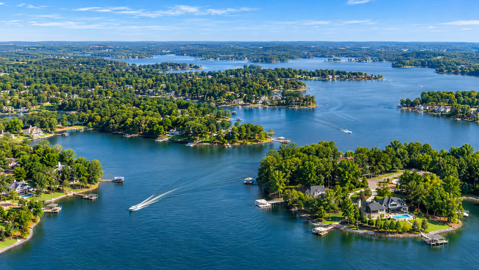
On the Mecklenburg County side of the lake, there is often a third, wider layer. Charlotte-Mecklenburg Storm Water Services administers water supply watershed buffers along Lake Norman, Mountain Island Lake and Lake Wylie for Charlotte, Cornelius, Davidson and Huntersville. These buffers are also measured from Duke's full pond elevation, which is 760 feet on Lake Norman. Depending on development density and where the lot sits in the watershed, the width can be 30, 40, 50 or 100 feet, or the full 100-year floodplain.
These local buffers have no zones and are meant to be left mostly undisturbed. According to the county's guidelines, the following are prohibited in the buffer without a variance: patios, gazebos, walls, outbuildings, sidewalks, septic systems and other built-upon area. Gravel, pavers and pervious asphalt count as built-upon area too. Some items can be allowed with an Authorization Certificate, including Duke-approved piers with slatted decking and no roof, certain fence types, and pathways that meet the guidelines.
Cornelius has a few rules of its own. No trees over 2 inches in caliper can come out of the watershed buffer unless they are diseased. For older Cornelius lots, the buffer usually follows the setback on the plat, typically 30 to 35 feet. Where no setback is shown, the plat date sets the width: 30 feet before October 3, 1988, 40 feet from October 3, 1988 to June 6, 1999, and 50 feet after June 7, 1999. The county suggests checking with the Town's Zoning Administrator, since these can be hard to interpret.
When more than one buffer applies, the more protective one governs. Development that existed before the local rules is generally not subject to them, but undeveloped lots, redevelopment and expansions are. Homes on the Iredell, Lincoln and Catawba County sides of the lake are covered by the state's 50-foot rule, and local governments there can adopt their own buffer ordinances, so check with the town or county planning office for the lot you are considering.
Why It Matters When You Buy
All of this shows up in real decisions. A lot that looks big on a listing can have far less usable yard once a 50 or 100 foot buffer is drawn from the 760 line. The pool, outdoor kitchen or boat storage you have in mind may need to sit farther back than you expect. Mecklenburg's guidelines describe a 2016 case where a boat storage structure was denied in the buffer because it was not considered water dependent. In the City of Charlotte, a grandfathered structure in the buffer that is torn down cannot be rebuilt there. Even a septic repair in the buffer can require a variance from the local Zoning Board of Adjustment.
Past clearing matters too. If a previous owner cut the shoreline without permission, the new owner can inherit the conversation with Duke Energy or the state. Here are the questions we would ask on any Lake Norman waterfront home:
Is there a current survey that shows the full pond line and the buffer? Mecklenburg's guidelines say buffers must be marked on the ground by a registered land surveyor, and online parcel maps cannot set buffer widths.
What is the pier's permit history? Duke Energy's Lake Services team can look it up by the pier tag.
Has any shoreline vegetation been cleared, and was it permitted by Duke Energy and the state?
Which local buffer applies to this lot, and how wide is it?
Are there deeded setbacks on the lot? Duke does not grant variances to them.
Do the improvements you want, like a patio, wall, path or boathouse, fit outside the buffer, or would they need authorization or a variance?
Buffer questions can get technical fast. For anything that affects what you plan to build, bring in a surveyor and a real estate attorney during your due diligence period, and confirm permits with Duke Energy and the right local office before you close.
Your Next Step
Riparian rules do not have to scare you off a waterfront home. They protect the water quality and the wooded shoreline that make Lake Norman worth living on. They just need to be part of your plan from the first showing, not a surprise after closing.
If you are weighing a Lake Norman purchase, or selling one and want to know how the buffer affects your value, start with our home value tool and then reach out to us. We will help you ask the right questions and connect you with the surveyors, attorneys and permit contacts who can answer them.
Sources
15A NCAC 02B .0614, Catawba River Basin Riparian Buffers (Cornell LII)
NC DWQ: Catawba Buffer Rule Fact Sheet (via Lake Norman Marine Commission)
Charlotte-Mecklenburg Storm Water Services: Water Quality Buffer Implementation Guidelines
Lake Norman Marine Commission: Docks, Piers, Shoreline Management and Dredging
WFAE: Developer Promises to Replant After Chainsawing Lake Norman Vegetation
Check out these Charlotte Neighborhoods


Commodo cursus magna, vel scelerisque nisl consectetur et. Donec id elit non mi porta gravida at eget metus.